
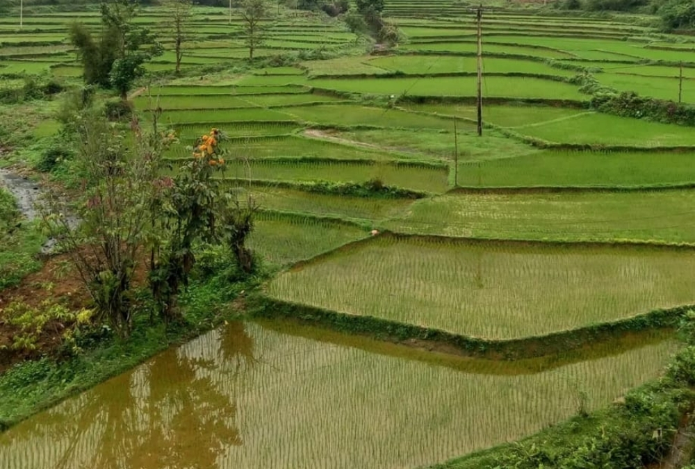
Vietnam is alleged to be one of the best countries in the world to explore by motorbike, and after years of riding here, I’d say that it’s absolutely true.
Travelling Vietnam on two wheels lets you follow loop routes that dive deep into the mountains, skirt coastlines, and cut through rural backroads where daily life plays out right in front of you.
However, the legendary Ha Giang stands apart, demanding more respect, preparation, and awareness than any other ride in the country.
Where Is the Ha Giang Loop in Vietnam?
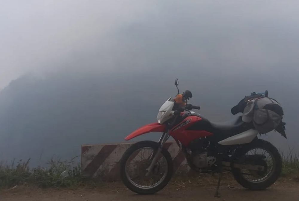
The classic Ha Giang Loop route runs from Ha Giang City, through Yen Minh, Dong Van, Meo Vac, and Du Gia, and back to Ha Giang, forming a circular journey through Vietnam’s most remote northern landscapes.
Often described as one of the most spectacular motorbike rides in Southeast Asia, the Ha Giang Loop sits in Vietnam’s far north, right near the Chinese border.
The road cuts through dramatic limestone mountains, high-altitude valleys, and quiet ethnic minority villages, much of it passing through the Dong Van Karst Plateau UNESCO Global Geopark.
This region is defined by sheer rock faces, winding mountain passes, and scenery that feels untouched compared to the rest of the country.
Unlike Vietnam’s more accessible destinations, Ha Giang doesn’t feel built for tourism. The distances are longer, the roads more demanding, and the landscapes far more raw, which is exactly why the loop feels less like a road trip and more like a genuine journey through one of Vietnam’s last truly wild regions.
The Ha Giang Loop Route: Stage-by-Stage Breakdown
Stage 1. Ha Giang City – Yen Minh
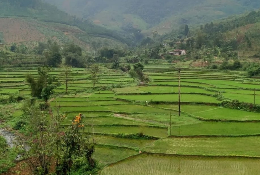
The Ha Giang Loop begins officially in Ha Giang City, where the city of Yen Minh (northeast of Ha Giang City) will be your destination, but not before heading straight north toward Tam Son Town.
This stretch is considered the Ha Giang loops grand opening, where the landscape changes from its lush river valleys to the “Forest of Stone” (Dong Van Karst Plateau).
The Bac Sum Pass (Dốc bắc sum) is your first set of 180° spiralling curves that climb up the mountain like a snake. Here, there are several points where you can stop to take a breather and look back down the road you just drove.
Heaven’s Gate is the highest point of the pass, where you can park up and climb a set of stairs to reach a viewpoint that overlooks the Tam Son valley below.
From this viewpoint, you can see the twin hills sitting side by side, which a local legend states are the breasts of a fairy who left them behind to provide milk for her child.
By the time you get to Tam Son Town (about 1 and a half hours of driving) it’s the perfect time to rest and get some food and coffee to recharge. After Tam Son, the road splits, and if you want better views of the Mien River and the limestone cliffs, take the older road to the left.
Before reaching Yen Minh, which should be your stop for the night, you’ll notice how the air is noticeably cooler as you ride through miles of massive pine trees. There isn’t much to do in Yen Minh, but if you’re up to it, try out Thang Co, a traditional Hmong soup made from horse meat and organs.
Stage 2. Yen Minh – Dong Van
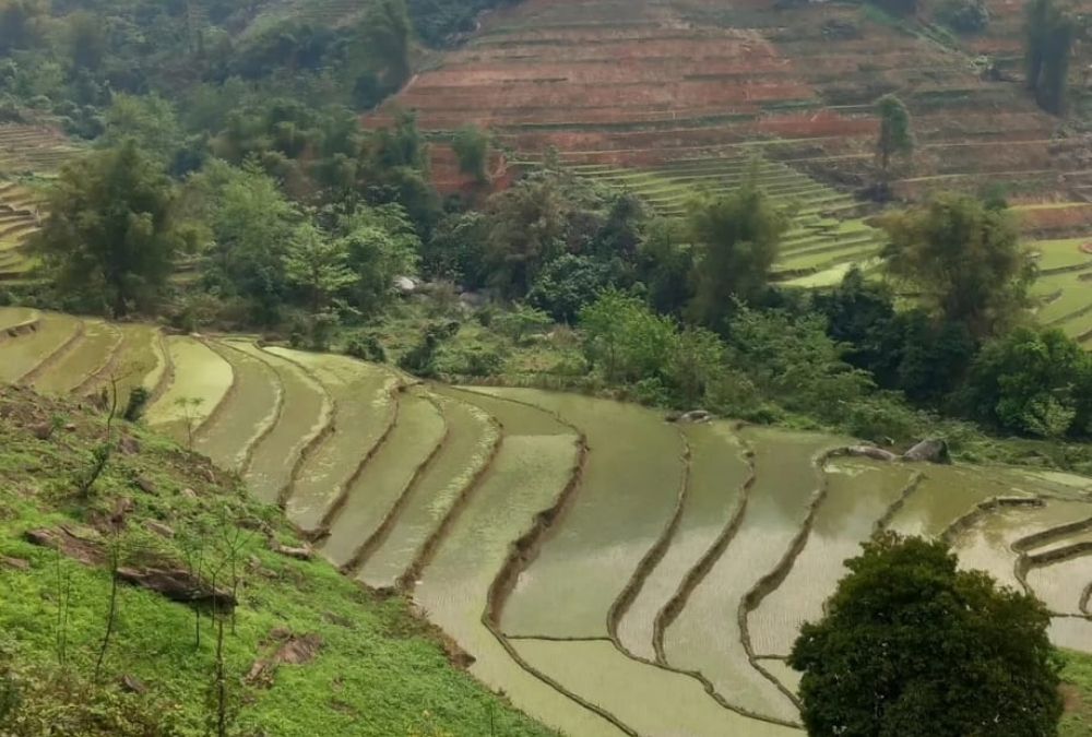
Yen Minh to Dong Van is one of the most famous parts of the Ha Giang Loop. This is the point you officially enter the Dong Van Karst Plateau Geopark, and the landscape shifts from the green forests to the jagged grey limestone peaks.
The Tham Ma Pass is the loop’s iconic S-Curve road you’ll see in almost every Ha Giang loop photo album. This road, which translates to “Test the Horse,” was used by horses to carry heavy loads up the pass. If the horse made the journey, it was kept.
Right after Tham Ma, you’ll arrive at the “9-Turn Pass,” a series of hairpin turns that descend into a valley. While less famous than Tham Ma, a lot say it’s more fun to ride, at least when it isn’t raining like it was for me, leading to a slow and steady descent.
Sung La Valley is a 100-year-old traditional Hmong house made from earth and wood that became famous after the film “The Story of Pao.” Entry is about 10,000 dong (could be more since I visited), and its courtyard contains ancient tools and weaving looms.
The Hmong King’s Palace in Sa Phin was built by the Vuong family, who ruled the region and became wealthy through the opium trade. It’s a mix of Hmong, Chinese and French colonial styles, making it a truly one-of-a-kind building.
Dong Ma is your second stop for the night and features a small cluster of century-old houses. If you time your arrival for a Saturday evening, by Sunday morning, there is the biggest ethnic market in the province.
Dao Cao Fortress is a French-built fortress that offer 360° view of the town and surrounding mountains. From Dao Cao, you can also ride 25km north to Lung Cu Flagpole, the northernmost point in Vietnam.
Stage 3. Dong Van – Meo Vac
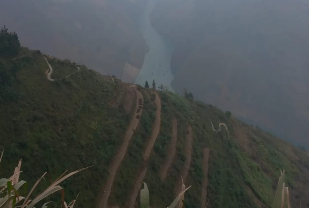
This shorter 24km stretch is widely considered the most beautiful road in Vietnam, covering the “Happiness Road” and taking you across the Dong Van Karst Plateau. While short, there is still a ton to see, so dedicate half a day to exploring this section.
10 minutes out of Dong Van, you’ll find the Ma Pi Leng Skywalk. Here you’ll find the famous “Death Cliff”, a large rock jutting out over the abyss, and a favourite photo spot for many.
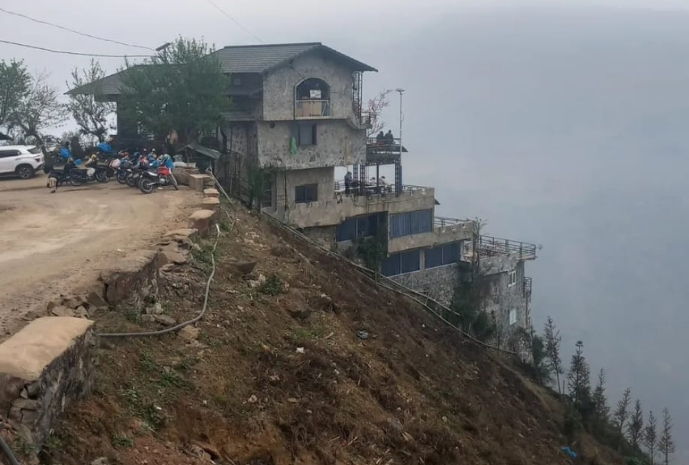
Further along the pass, you’ll reach the official Ma Pi Panorama Coffee Shop that looks down 1,200 meters into the Tu San Canyon. While I didn’t take it on my trip, you can head toward the Nho Que River Boat Trip, where you’ll pay between 100,000 and 150,000 dong for a 30-minute to one-hour boat ride.
Meo Vac also has its Sunday market where hundreds of Hmong, Dao and Lo Lo people come to trade. Just a few kilometres out of town, you can visit Pa Vi Hmong Village, a newly developed cultural village consisting of dozens of Hmong-style houses.
Lo Lo Village is also a short ride from town, where you can visit the Lo Lo community known for its intricate and colourful traditional costumes and see traditional weaving and a slower pace of life.
Stage 4. Meo Vac – Du Gia
Meo Vac to Du Gia covers about 81km and is considered the most scenic leg of your journey. This drive shifts from the dramatic cliffs and descends into the lush green valleys of Du Gia.
As you pass through Mau Due, you’ll encounter impressive terraced rice fields and windy roads offering panoramic views of the agricultural valleys below. You’ll also experience several steep climbs and descents that are narrow and contain rocky debris requiring careful navigation.
You’ll pass many Ethnic Villages that are less commercialised than the main loop, which can offer a bizarre clash of cultures, as I once saw two young barefoot sisters herding their cows up a hill, while at the same time, looking bored at their smartphones.
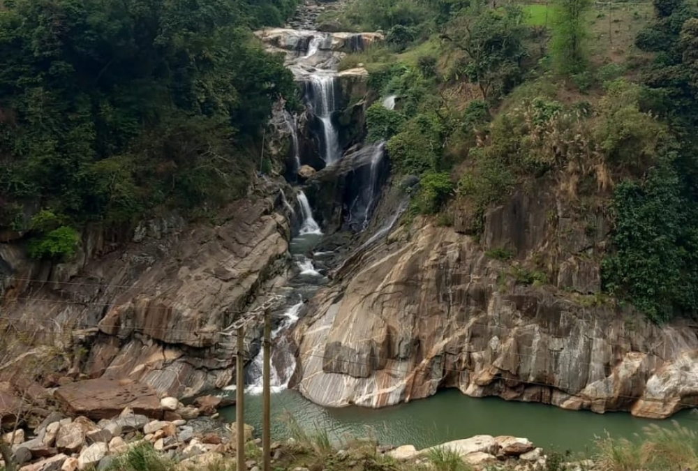
Du Gia is a tranquil village with welcoming homestays and a slow pace. It’s a hub of ethnic minorities often characterised by traditional stilt houses. Du Gia Waterfall is also a popular natural attraction located just a short drive from the main village, where you can swim to cool off.
Stage 5. Du Gia – Ha Giang City
The final leg of your journey, this route is about 73km, taking roughly 2 hours and 15 minutes of drive time. This leg is more of the twilight of your journey, offering a mix of winding mountain paths and smoother riverside stretches.
Lung Tam Village is famous for its linen weaving cooperative, where you can watch local women transform hemp into intricate, hand-dyed textiles. Duong Thuong Valley is a stretch that offers some of the most serene views on your trip, as it features a road cutting through an emerald-green valley dotted with traditional wooden houses and corn fields.
Your final hour takes you along the QL34 Riverside Drive that follows the Gam River. This road is falter and wider, making it a relaxing final hour drive to complete your journey.
Once back in Ha Giang, head to the KMO Milestone, a symbolic start and end point for every loop patron, and the Cam Son Mountain to get your final panoramic view of the city.
Do You Need Experience to Ride the Ha Giang Loop?
Yes, experience helps, but you don’t need to be an expert rider.
The Ha Giang Loop isn’t technically difficult in the way off-road trails are, but it is demanding.
You’ll be dealing with steep mountain passes, tight hairpin bends, unpredictable weather, foggy mornings, and roads that can change conditions without warning. One minute you’re on smooth tarmac, the next you’re navigating gravel, potholes, or mud from a recent landslide.
If you’ve ridden a motorbike before and feel comfortable controlling your speed, braking on descents, and taking corners calmly, you’ll be fine as long as you ride within your limits.
The biggest mistakes I see aren’t caused by lack of skill, but by overconfidence, riding too fast, pushing on late in the day, or trying to keep up with others when conditions aren’t right.
If you’re a complete beginner, the loop is still doable, but this is where easy riders or guided groups make sense.
Having a local rider takes the pressure off navigation, road conditions, and police checkpoints, and lets you focus on the scenery rather than survival. There’s no shame in that; the goal here isn’t to prove anything, it’s to enjoy the ride.
Best Time to Do the Ha Giang Loop
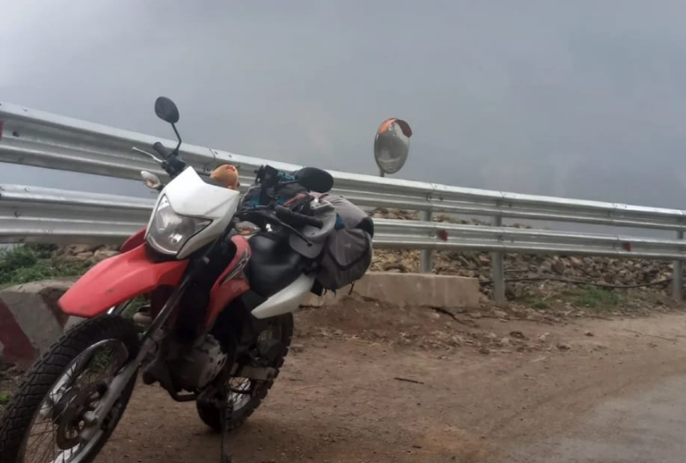
The best time to ride the Ha Giang Loop is spring (March to May) and autumn (September to October), when the weather is more stable, and the landscapes are at their most dramatic.
These months strike the best balance between visibility, road conditions, and overall riding comfort.
Spring brings mild temperatures and fresh greenery, with hillsides coming back to life after winter. It’s also when you’ll see wildflowers scattered across the highlands, especially around Dong Van and Meo Vac. Autumn, on the other hand, is rice season.
Terraced fields turn golden, particularly around Du Gia and the valleys between Meo Vac and Yen Minh, making it one of the most photogenic times to ride the loop.
Summer (June to August) is hot and lush, but it’s also the rainy season. Heavy downpours can make mountain roads slippery, trigger small landslides, and reduce visibility through fog and low clouds.
The scenery is still stunning, but you’ll need to ride slower, allow extra time, and be flexible with plans.
Winter (November to February) is the quietest time on the loop, but also the most challenging.
Temperatures can drop close to freezing in the mornings, fog can be thick, and views are often obscured. If you ride in winter, pack warm layers and expect shorter riding days.
If you want the loop at its best, plan your ride for March–May or September–October, and give yourself enough time to wait out bad weather rather than pushing on through it.
Freedom on Two Wheels
Vietnam rewards travellers who slow down, take the long way round, and aren’t afraid to get a little lost, and nowhere is that clearer than on a motorbike. After riding countless roads across the country, it’s the loop routes that have stayed with me the most.
They pull you away from main highways and tourist centres and drop you into landscapes and communities you’d never see otherwise. Whether it’s high mountain passes in the north or quiet rural circuits elsewhere, these rides offer freedom, perspective, and a genuine connection to the places you pass through. If you really want to understand Vietnam beyond the highlights, getting on a bike and following a loop is as real as it gets.